Web Cameras

Bedford East View

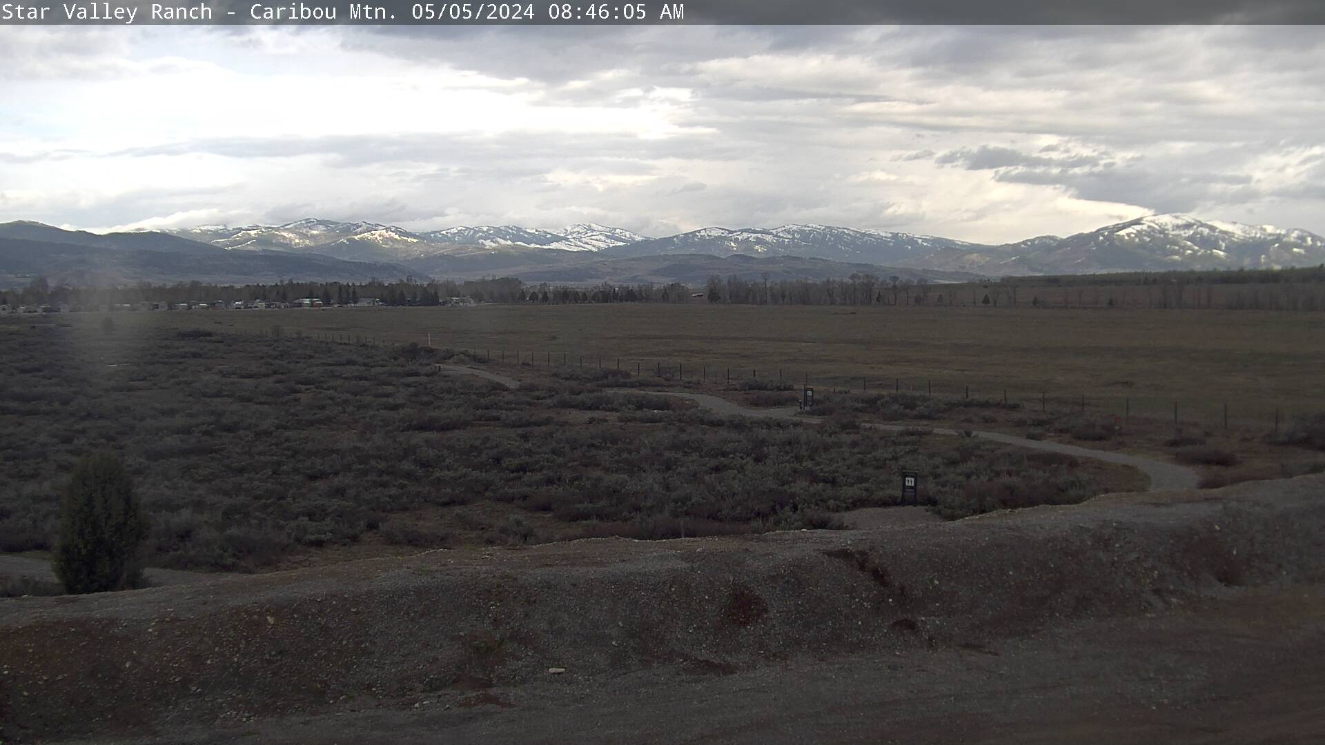
SVR South View

SVR North View
Star Valley Ranch West
| 43 °F 24h Rain: 0.00 in. Wind: 0 ° at 3 mph | 06:15 pm Elev: 5634 ft Humidity: 52% |
| °F 24h Rain: in. Wind: Calm | 12:24 pm Elev: ft Humidity: % |
| °F 24h Rain: in. Wind: Calm | 12:24 pm Elev: ft Humidity: % |
| 42 °F 24h Rain: 0.00 in. Wind: Calm | 06:15 pm Elev: 5942 ft Humidity: 50% |
| 40 °F 24h Rain: 0.00 in. Wind: 173 ° at 3 mph | 06:15 pm Elev: 6288 ft Humidity: 59% |
| 37 °F 24h Rain: 0.00 in. Wind: Calm | 06:15 pm Elev: 6201 ft Humidity: 15% |
National Weather Service Local Forecast for Star Valley Ranch
Updated: Sun May 05 11:45 am MT

This Afternoon... Showers likely and possibly a thunderstorm.
Mostly cloudy, with a steady temperature around 44. South southwest
wind 6 to 11 mph becoming northwest.  Chance of precipitation is 70%.
New rainfall amounts between a tenth and quarter of an inch, except
higher amounts possible in thunderstorms.

Tonight... Rain and snow showers likely before midnight, then
snow showers. Some thunder is also possible.  Low around 30. West
northwest wind 6 to 9 mph becoming south southwest after midnight.
Chance of precipitation is 80%. New snow accumulation of less than one
inch possible.

Monday... Snow showers before 11am, then rain and snow showers
likely between 11am and noon, then rain showers likely after noon.
Some thunder is also possible.  High near 42. Breezy, with a south
southeast wind 9 to 14 mph becoming west 15 to 20 mph in the
afternoon. Winds could gust as high as 28 mph.  Chance of
precipitation is 90%. New snow accumulation of 1 to 2 inches possible.


Monday Night... Rain and snow showers likely before 9pm, then
snow showers. Some thunder is also possible.  Low around 30. Breezy,
with a west wind 17 to 22 mph becoming southeast 7 to 12 mph in the
evening. Winds could gust as high as 31 mph.  Chance of precipitation
is 80%. New snow accumulation of less than one inch possible.

Tuesday... Snow showers. Some thunder is also possible.  High
near 36. Breezy, with a west wind 11 to 18 mph, with gusts as high as
28 mph.  Chance of precipitation is 100%. New snow accumulation of 1
to 3 inches possible.

Tuesday Night... Snow showers likely, mainly before midnight.
Some thunder is also possible.  Mostly cloudy, with a low around 26.
Breezy, with a west wind 13 to 18 mph decreasing to 6 to 11 mph after
midnight. Winds could gust as high as 29 mph.  Chance of precipitation
is 70%.

Wednesday... A 50 percent chance of snow showers.  Mostly
cloudy, with a high near 40. West northwest wind 6 to 13 mph.

Wednesday Night... A 20 percent chance of snow showers before
midnight.  Mostly cloudy, with a low around 29.

Thursday... A 40 percent chance of showers and thunderstorms
after noon.  Partly sunny, with a high near 50.

Thursday Night... A 20 percent chance of showers before
midnight.  Partly cloudy, with a low around 29.

Friday... A slight chance of showers and thunderstorms.  Mostly
sunny, with a high near 55.

Friday Night... Partly cloudy, with a low around 32.

Saturday... Sunny, with a high near 59.
For complete details, click here. .