Web Cameras

Bedford East View

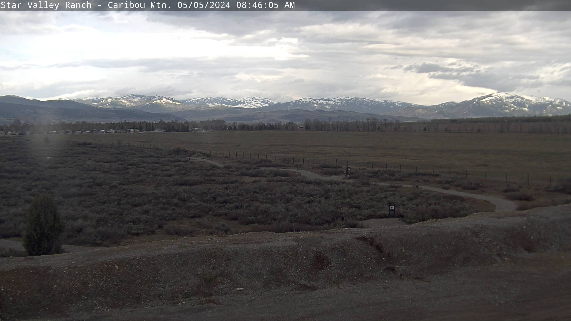
SVR South View

SVR North View
Star Valley Ranch West

| 41 °F 24h Rain: 0.00 in. Wind: Calm | 08:30 pm Elev: 5634 ft Humidity: 93% |
| 39 °F 24h Rain: 0.38 in. Wind: 27 ° at 4 mph | 08:45 pm Elev: 5823 ft Humidity: 88% |
| °F 24h Rain: in. Wind: Calm | 08:00 pm Elev: ft Humidity: % |
| 40 °F 24h Rain: 0.02 in. Wind: 348 ° at 3 mph | 08:45 pm Elev: 5942 ft Humidity: 84% |
| 39 °F 24h Rain: 0.00 in. Wind: Light | 08:45 pm Elev: 6288 ft Humidity: 87% |
| 37 °F 24h Rain: 0.00 in. Wind: 330 ° at 6 mph | 08:35 pm Elev: 6201 ft Humidity: 93% |
National Weather Service Local Forecast for Star Valley Ranch
Updated: Thu Oct 17  7:00 pm MT

Tonight... Rain before 3am, then rain and snow likely.  Low
around 32. North northwest wind 3 to 8 mph.  Chance of precipitation
is 80%. Little or no snow accumulation expected.

Friday... Rain and snow likely before noon, then a chance of
rain between noon and 3pm.  Cloudy, then gradually becoming mostly
sunny, with a high near 45. North northeast wind 8 to 11 mph.  Chance
of precipitation is 60%. Little or no snow accumulation expected.

Friday Night... Widespread frost, mainly after 9pm.  Otherwise,
mostly clear, with a low around 24. North northeast wind 5 to 7 mph
becoming calm  after midnight.

Saturday... Sunny, with a high near 57. Calm wind.

Saturday Night... Clear, with a low around 28. Calm wind.

Sunday... Sunny, with a high near 59. Light and variable wind.

Sunday Night... Partly cloudy, with a low around 31. Light
south wind.

Monday... Mostly sunny, with a high near 61.

Monday Night... Partly cloudy, with a low around 33.

Tuesday... Mostly sunny, with a high near 61.

Tuesday Night... Partly cloudy, with a low around 33.

Wednesday... Sunny, with a high near 63.

Wednesday Night... A slight chance of showers.  Mostly clear,
with a low around 31.

Thursday... Sunny, with a high near 64.
For complete details, click here. .